Comprehensive List of 16 RESEPI Recommended Drones
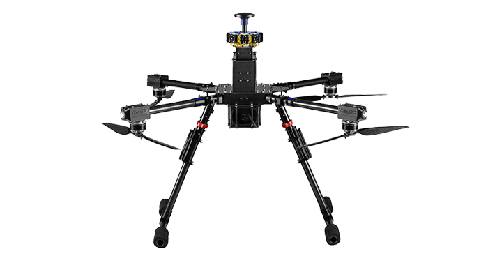
WISPR Systems
- WISPR Ranger Pro 1100: High-stability quadcopter optimized for professional LiDAR surveying and industrial inspections.
- WISPR SkyScout 2+: Compact, intelligent drone featuring advanced flight modes for high-resolution imaging and mapping.
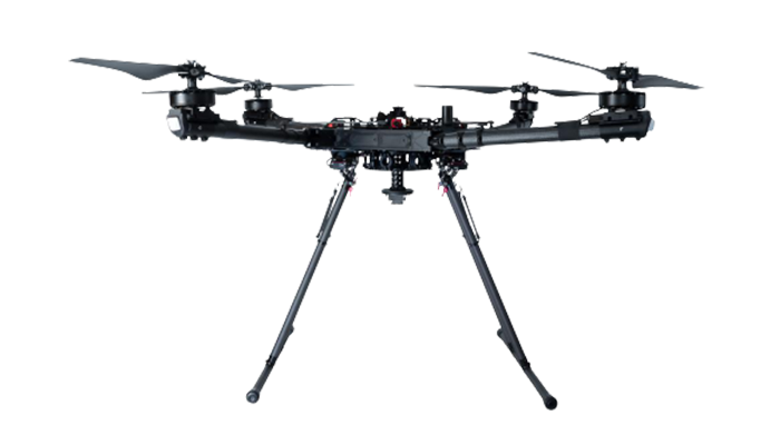
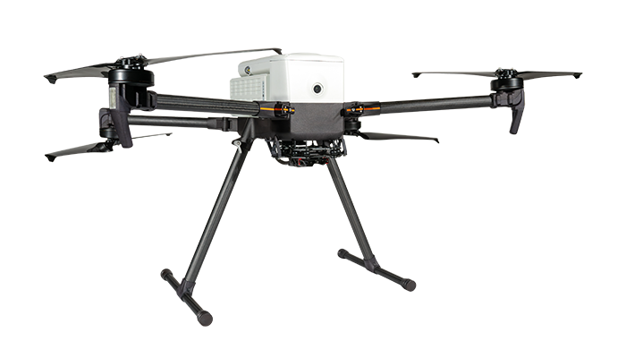
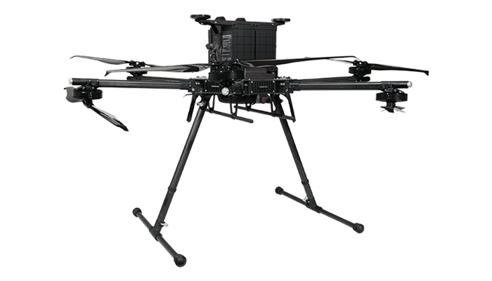
Freefly Systems
- Freefly Astro: High-precision mapping platform known for versatility and integration with professional camera payloads.
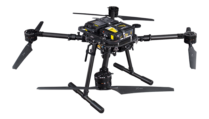
- Freefly Alta X: Heavy-lift industrial drone designed for maximum payload capacity and flight endurance with heavy LiDAR sensors.
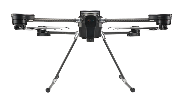
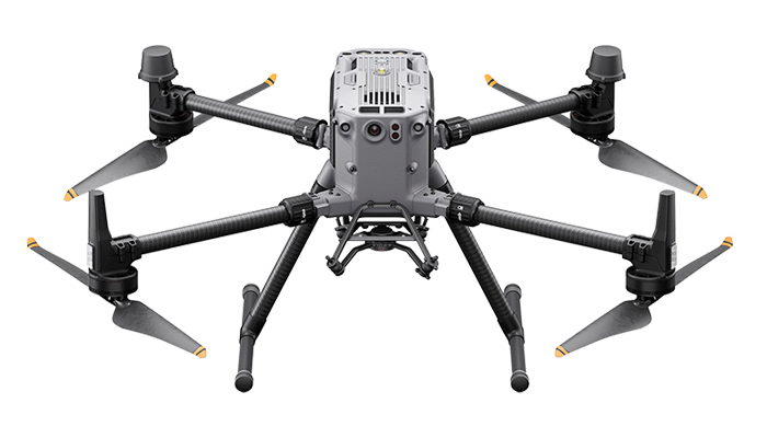
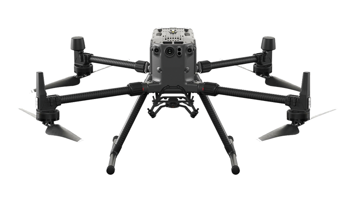
DJI Enterprise
- DJI Matrice 350 RTK (M350): The latest flagship industrial platform with enhanced weather protection and full RESEPI integration.
- DJI Matrice 300 RTK (M300): Proven industry-standard workhorse for long-range LiDAR data acquisition and autonomous missions.
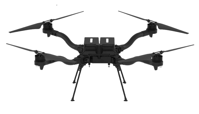
Inspired Flight
- Inspired Flight IF800 Tomcat: Medium-lift NDAA-compliant drone offering a balance of portability and power for surveying.
- Inspired Flight IF1200A: Robust heavy-lift UAV engineered for demanding industrial tasks and large LiDAR payloads.
Specialized Platforms
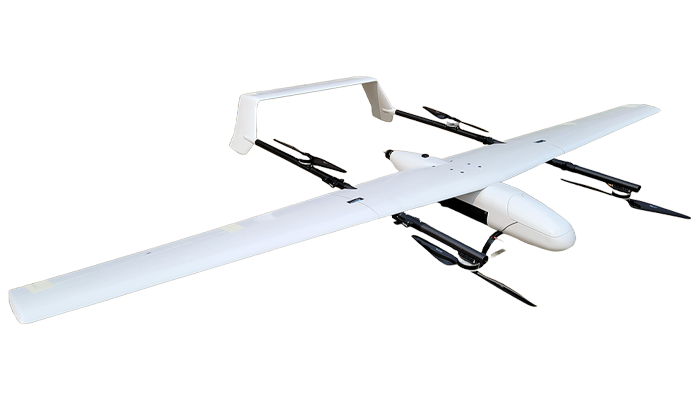
- Event 38 E455: Fixed-wing VTOL aircraft designed for large-scale agricultural mapping and long-endurance corridor surveys.
- Carlson CRD1: Specialized remote sensing platform optimized for land management and high-accuracy geospatial data.
- Arcsky X55: High-precision multirotor designed for scientific research and environmental monitoring applications.
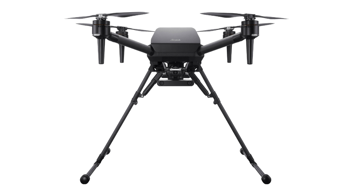
- Sony Airpeak S1: High-speed professional drone optimized for Sony Alpha series cameras and high-end aerial imaging.
ideaForge
- ideaForge NETRA V4 PRO: Tactical-grade UAV built for long-endurance surveillance, defense, and wide-area mapping.
- ideaForge Q6 V3: Ruggedized and durable small UAV designed for rapid deployment in challenging environments.
Wingtra (VTOL)
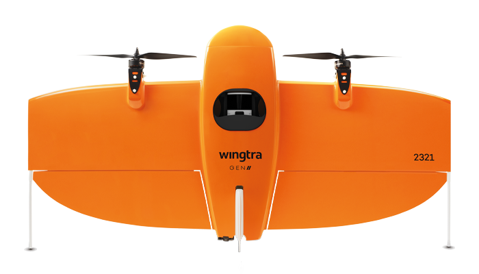
- WingtraOne GENII: Leading VTOL mapping drone combining fixed-wing efficiency with vertical take-off for large-scale projects.
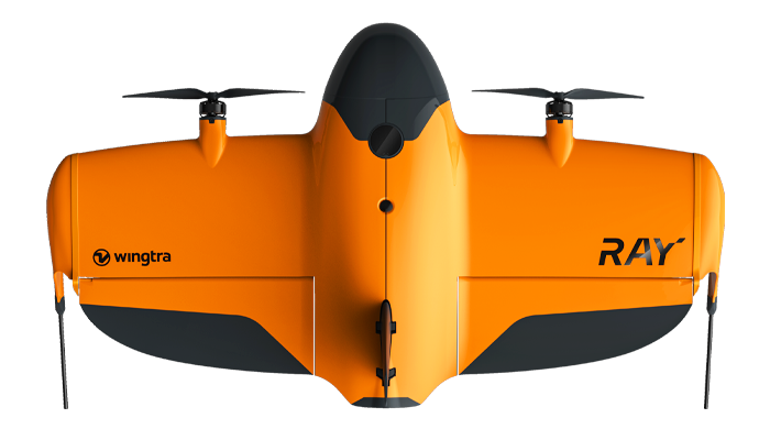
- WingtraRAY: Specialized high-efficiency surveying drone optimized for precision mapping and ease of use in the field.