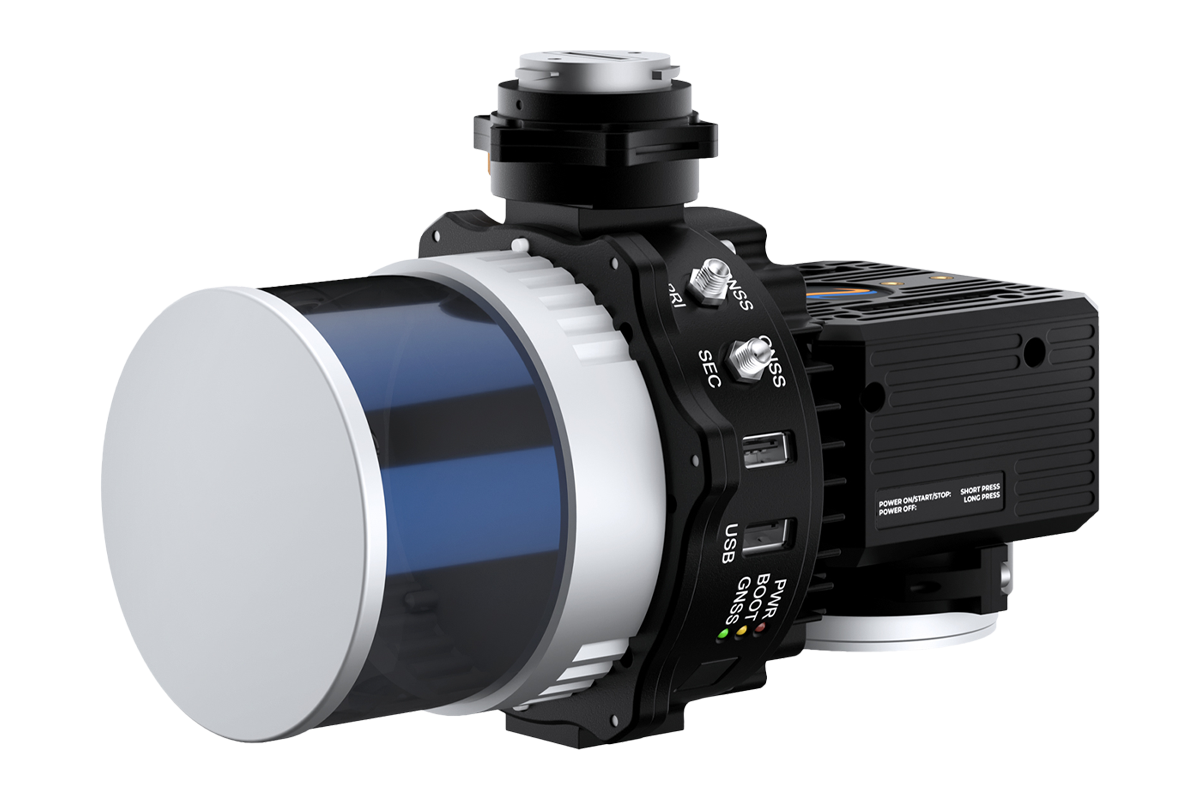
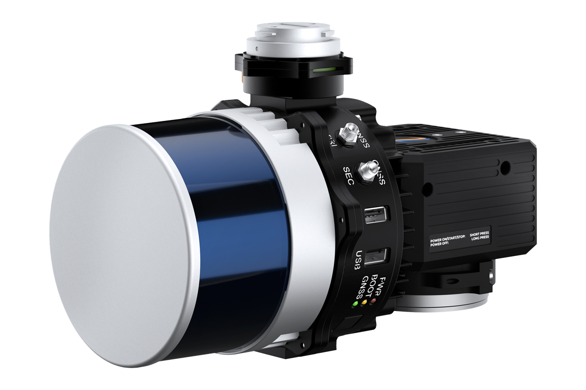
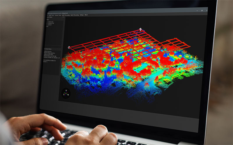
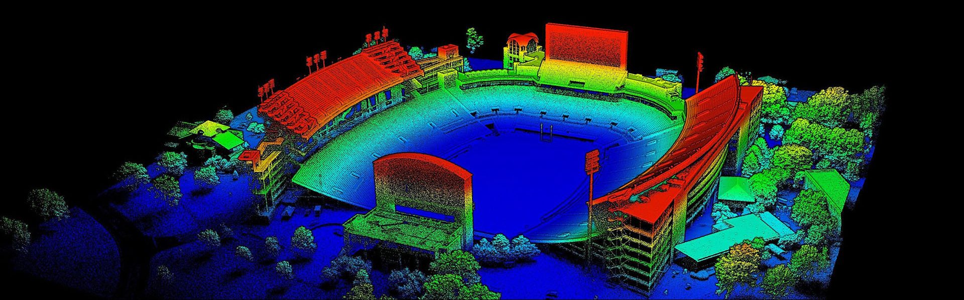
PCMasterPro is an advanced software solution designed for professionals working with geospatial and 3D data, including engineers, cartographers, surveyors, and even VFX designers. It offers powerful tools for processing trajectory data, and generating 3D information critical for asset management. From tightly coupled inertial-based algorithms and reporting for land surveyors to locally referenced simultaneous localization and mapping (SLAM) generated point clouds for the VFX industry, PCMasterPro has the pre-processing and refinement tools to generate the deliverables needed for many common 3D industries