
Inertial Labs announces a new era of the RESEPI scanner powered by Kudan’s 3D Lidar SLAM engine for digitization.

Inertial Labs, Inc. (hereafter “Inertial Labs”), a leader in sensor fusion and 3D Lidar-based remote sensing solutions with its headquarters in Virginia, USA, along with Kudan Inc. (headquarters in Shibuya-ku, Tokyo; CEO Daiu Ko), a global leader in advanced SLAM (Simultaneous Localization and Mapping) technology, proudly announces that has decided to commercially release a new […]
Inertial Labs Announces Software Update for RESEPI’s PCMasterPro in Collaboration with BayesMap
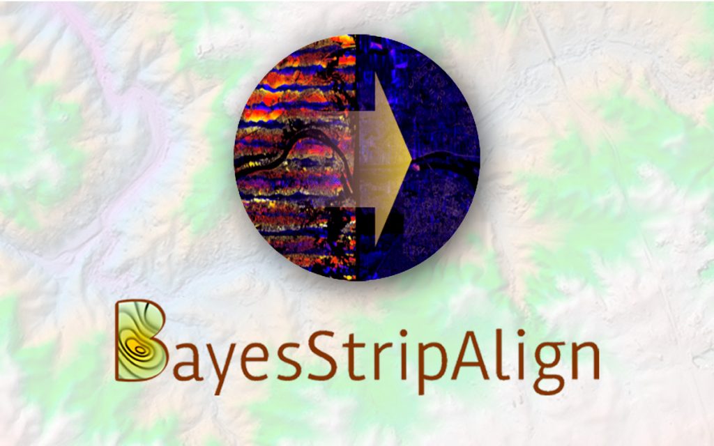
PAEONIAN SPRINGS, VA December 11, 2023 Inertial Labs, a pioneer in inertial sensors and systems, is excited to announce the release of the latest PCMasterPro software updates for RESEPI. This update introduces a strip alignment algorithm developed by BayesMap. This collaboration brings forth Fast, Automated Point Cloud Alignment, enhancing the capabilities of UAV LiDAR systems. […]
Enhancing Urban Navigation Data Quality with RESEPI

Urban navigation has become increasingly complex with the growth of cities and the rising demand for efficient transportation systems.
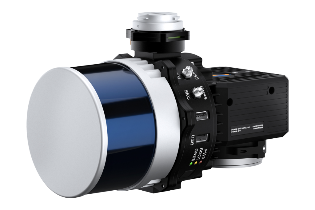
Teledyne Optech CL-360HD and Ouster OS1-64 REV7: A Glimpse into the Future of Remote Sensing

The morning sun shone brightly as Inertial Labs, a pioneering name in inertial sensing technology, took center stage at the much-anticipated Freefly Fest 2023 held this past Thursday, August 15, 2023.
Inertial Labs announces the release of the new RESEPI TELEDYNE OPTECH CL-360HD
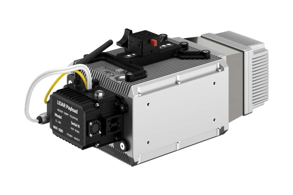
Inertial Labs is pleased to announce a new scanning and mapping solution for the RESEPI line.
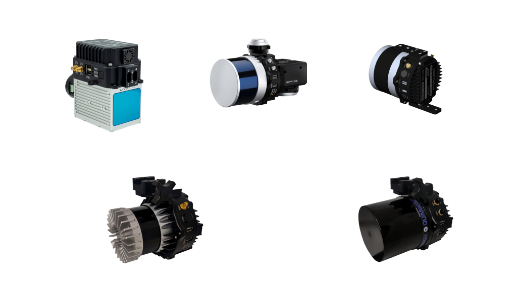
Types of LiDAR Systems
Light Detection and Ranging (LiDAR) systems technology has revolutionized remote sensing, surveying, and monitoring in recent years.
What is a LiDAR remote sensing payload instrument?
A LiDAR remote sensing payload instrument is a device that uses light to measure distances from a sensor to objects in the real world. It does this by emitting a laser beam and measuring the time it takes for the beam to travel to the object and back. This information is then used to create a 3D point cloud of the object or scene.
FLIGHTS Inc., Brings Inertial Labs’ Solutions to the Japanese Market
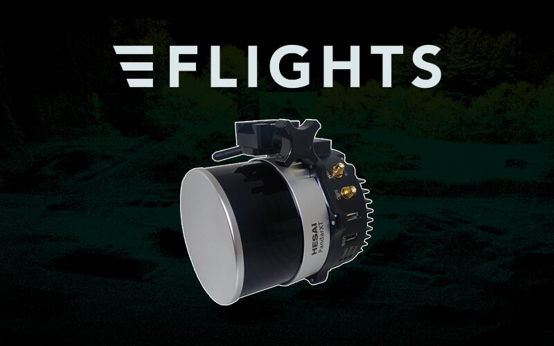
Inertial Labs continues to expand their portfolio into eastern Asia by partnering with one of the most well-known remote sensing solution and service providers in Japan.