
Deep Dive into RESEPI Accurate Data

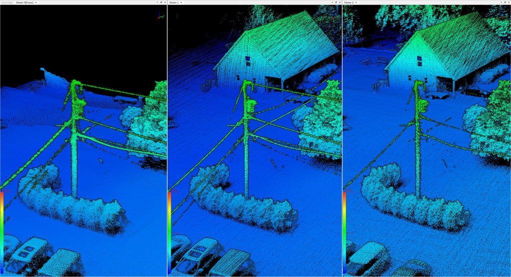
Overview Why do some LiDAR mapping systems produce better data than others? While many factors (Figure 1) can affect output point cloud quality, high-performance system hardware is one key factor and the foundation of the rest. This article delves deeply into this subject and explains why the Inertial Labs INS (Inertial Navigation System) enables RESEPI […]
Five considerations when selecting an INS for mobile mapping
Abstract This article discusses the key factors to consider when selecting an Inertial Navigation System (INS) for mobile mapping. Five key aspects are highlighted: accuracy level, cost, compatibility with other sensors, and system functionality. The calibration issue is also touched upon as an essential component affecting accuracy. It is emphasized that balancing the required accuracy […]
Inertial Labs Unveils the Lightest Complete LiDAR and Camera Payload: The RESEPI Ultra LITE
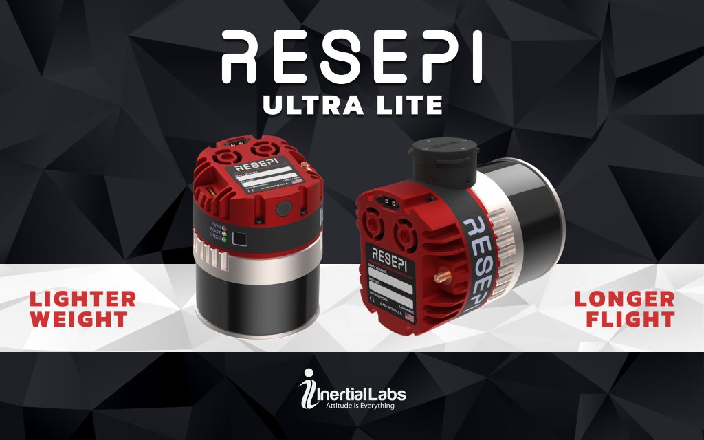
October 28, 2024 – Paeonian Springs, VA — Inertial Labs, a leader in position and orientation technology, is proud to introduce its latest innovation: the RESEPI Ultra LITE, the lightest complete payload to feature both LiDAR and camera technology. Designed with the needs of the modern surveyor in mind, the RESEPI Ultra LITE offers unparalleled […]
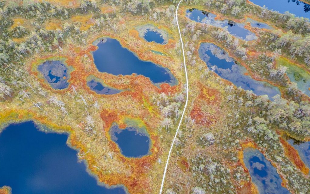
Simplified Approaches for Modern LiDAR Surveying

Abstract LiDAR (Light Detection and Ranging) technology has revolutionized the surveying field by providing highly accurate and detailed 3D models of landscapes. Engineers are creating LiDAR systems that combine ease of use with excellent capabilities to make this technology available to everyone. The complexity of building such systems, even from accessible and affordable components, requires […]
Understanding the Power of the GPS Signal

Abstract The Global Positioning System has become an integral part of our lives. It is used in many applications such as agriculture, construction, exploration, surveying, navigation, and other mission-critical applications. Today, every smartphone has a GPS receiver, which allows us to build routes and navigate the terrain. In this article, we will consider the principle […]
How are point clouds made?
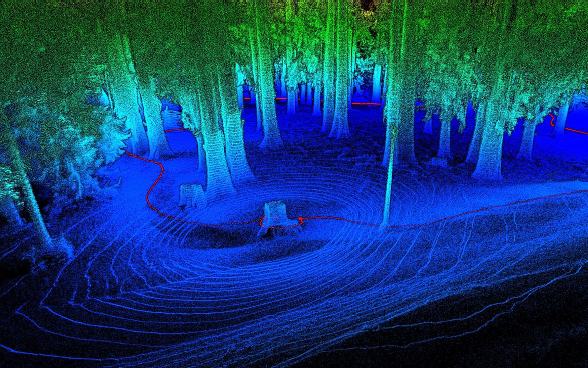
Abstract Beginners using LiDAR for the first time often struggle to understand a point cloud and how to work with it. Therefore, this paper discusses a point cloud and how it is generated using LiDAR. Here are the sections that will be covered: Introduction to Point Cloud, Step-by-step process for creating a Point Cloud, Additional […]
What is LiDAR? Transforming Industries with Precision Mapping
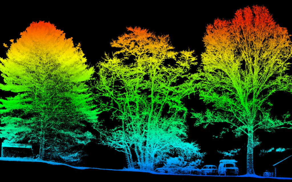
Abstract Some users just starting to use the LiDAR system do not always fully understand this technology and how it works. Therefore, this paper will consider the operating principle of LiDAR, its application, and its advantages and disadvantages. The sections will be covered: Introduction, Operating principle and types of LiDAR, LiDAR Applications, Advantages and Disadvantages […]
How INS Complements LiDAR Technology
Abstract Most LiDAR users wonder, «Why use an INS with a LiDAR? ». To obtain a point cloud with high precision georeferencing, it is necessary to know the location and orientation of the LiDAR in a geographic coordinate system. For this, LiDAR is integrated by an inertial navigation system that determines the location and orientation of LiDAR. […]
A Comprehensive Guide to Boresight and Strip Alignment for LiDAR Data Accuracy

Abstract. System calibration and strip alignment are essential for obtaining high-quality LiDAR data in a laser scanning system. Each of these procedures enhances the accuracy of the entire system and increases its usability. This article explores the sources of LiDAR system errors, the importance of calibration, and proper calibration methods. The sections covered include an […]
The Future of Efficient and Safe Mining with LiDAR technology
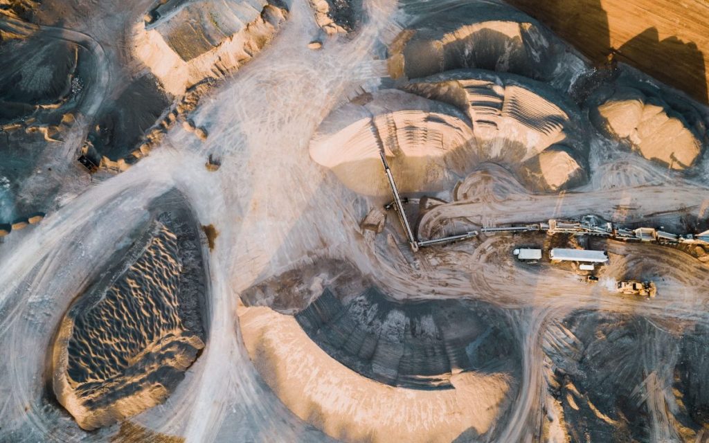
Abstract. Light detection and ranging (LiDAR) technology has recently been used to solve many problems in various fields. Quarry mining is no exception. LiDAR scans the quarry and determines essential parameters such as the depth and volume of material mined during the planning stage and throughout the quarry’s life cycle. This paper examines the use […]